Survey

What is the Survey and Evaluation Unit?
The Survey and Evaluation Unit oversees the identification and evaluation of historic districts, buildings, structures, objects and sites in New York State. The statewide inventory of historic resources, along with historic preservation planning at the local and regional levels, supports New York State's historic preservation efforts. This unit provides technical assistance, training, and supporting resource materials for the preparation of historic resources surveys.
What is a Historic Resources Survey?
A Historic Resources Survey is the principal tool for identifying historic properties and placing them in the local, state and/or national historic context. A survey provides the means by which we identify and document historic resources and evaluate their significance.
Surveys provide an inventory of the built environment by systematically documenting historic properties by geographic location (e.g., entire village, rural landscape or specific neighborhood) or theme (e.g., historic schools of NYS or properties associated with the Underground Railroad). They are tailored to fit the needs and goals of a project.
Why conduct a survey?
Surveys are fundamental to sound preservation planning. By defining the location and importance of historic resources, a survey enables planners to make decisions about which properties ought to be protected and how to incorporate preservation goals into community planning efforts. Surveys achieve the following objectives:
- establish priorities for preservation projects;
- identify historic properties that may benefit from National Register listing (which can qualify properties for certain tax credit and grant programs) and/or local designation;
- create a body of background information for project and land-use planning;
- help meet specific environmental review requirements (Section 106 of the National Historic Preservation Act of 1966 and Section 14.09 of the New York State Historic Preservation Act of 1980);
- increase public awareness and appreciation for properties that reflect local, state and national history, and
- gather information for educational and promotional purposes.
The Survey Process
The essential first step in the survey process is defining the geographic or thematic area of the survey. The process includes planning, research, fieldwork, data collection and organization, evaluation, and reporting.
Historic resources surveys fall into two general types: reconnaissance-level surveys and intensive-level surveys. A reconnaissance-level survey is a first step in the survey process that identifies those areas and properties worthy of further study. Reconnaissance surveys establish broad historic and architectural contexts necessary in understanding an area's past. Because reconnaissance-level surveys do not typically include detailed information on each property, they generally do not provide sufficient information for making informed evaluations of historic or architectural significance. Intensive-level surveys include historical research on the surveyed properties that provides the information needed for determining which properties (both individual properties and historic districts) are eligible for historic designations.
What are the products of a survey?
Surveys produce varying levels of information depending on the level of survey (reconnaissance or intensive) and the intended use. A completed survey generally consists of a written report summarizing the history, development patterns and physical character of the study area, an inventory of historic properties accompanied by maps and photographs, and recommendations. Evaluation results are included in intensive-level surveys.
Who can sponsor a survey?
Anyone can sponsor a survey: local and state governments, historical societies, academic programs, and individuals.
How can I get help with historic resources surveys?
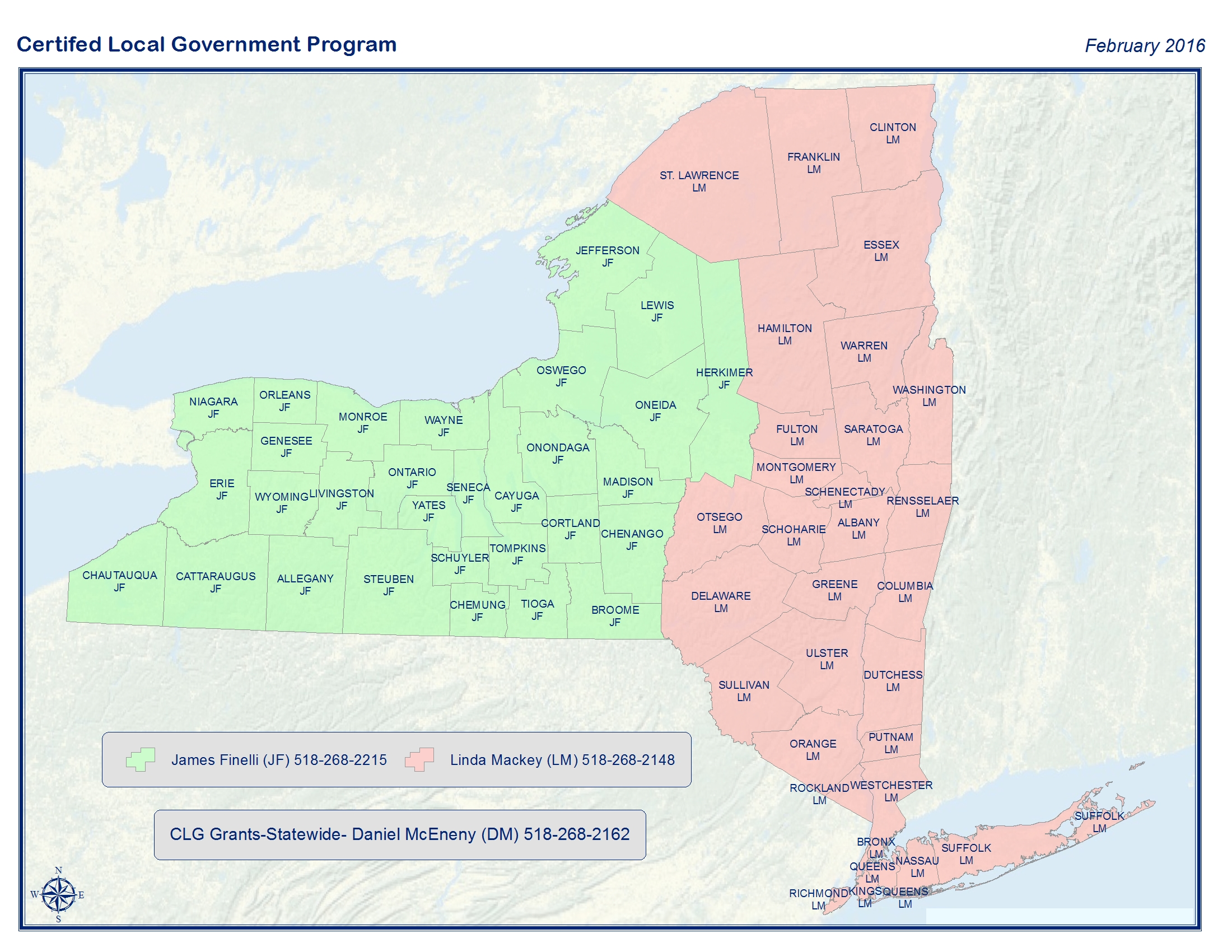
For inventory forms, technical advice, survey standards, and sample surveys please go to our Territory Assignment Map section to find contact information for the Survey and Evaluation Program Representative for your county.
Documents
Resources
Many historic resources identified in surveys have been added to the NYSHPO's computerized statewide historic resources inventory. Basic information about these properties can be accessed via NYSHPO's online resources in the SPHINX (State Preservation Historical Information Network Exchange). Since basic survey data is accessible to federal, state, regional and local planning officials, it can be referenced when making decisions regarding planning issues.
In addition, more than 100 survey reports of historic and architectural resources are on file at the NYSHPO. The surveys include: statewide surveys and context studies; county-wide surveys and studies; regional surveys and studies; and surveys prepared for cities, towns, villages, and neighborhoods.
The National Park Service has a number of helpful publications on surveying and evaluating a wide variety of historic resources. Two publications may be particularly useful:
Funding Sources for Surveys
Surveys may be funded through local governments, voluntary efforts and contributions, and various grant sources.
Municipalities that are Certified Local Governments in New York are eligible to apply to the SHPO for CLG grant funds to produce historic resources surveys. For information on CLG grants please contact the CLG representative assigned to your county View Map.
In addition, the New York State Council on the Arts (NYSCA) and the Preservation League of New York State administer
the Preserve New York program, which provides modest funding for preservation projects including historic resources
surveys. For information on Preserve New York grants visit Preservation League of New York State
or contact the League at 518-462-5658.